The Tatras' Place
in the Carpathian Mountains
(Big image...please be patient while it loads!) For
smaller image click
here.
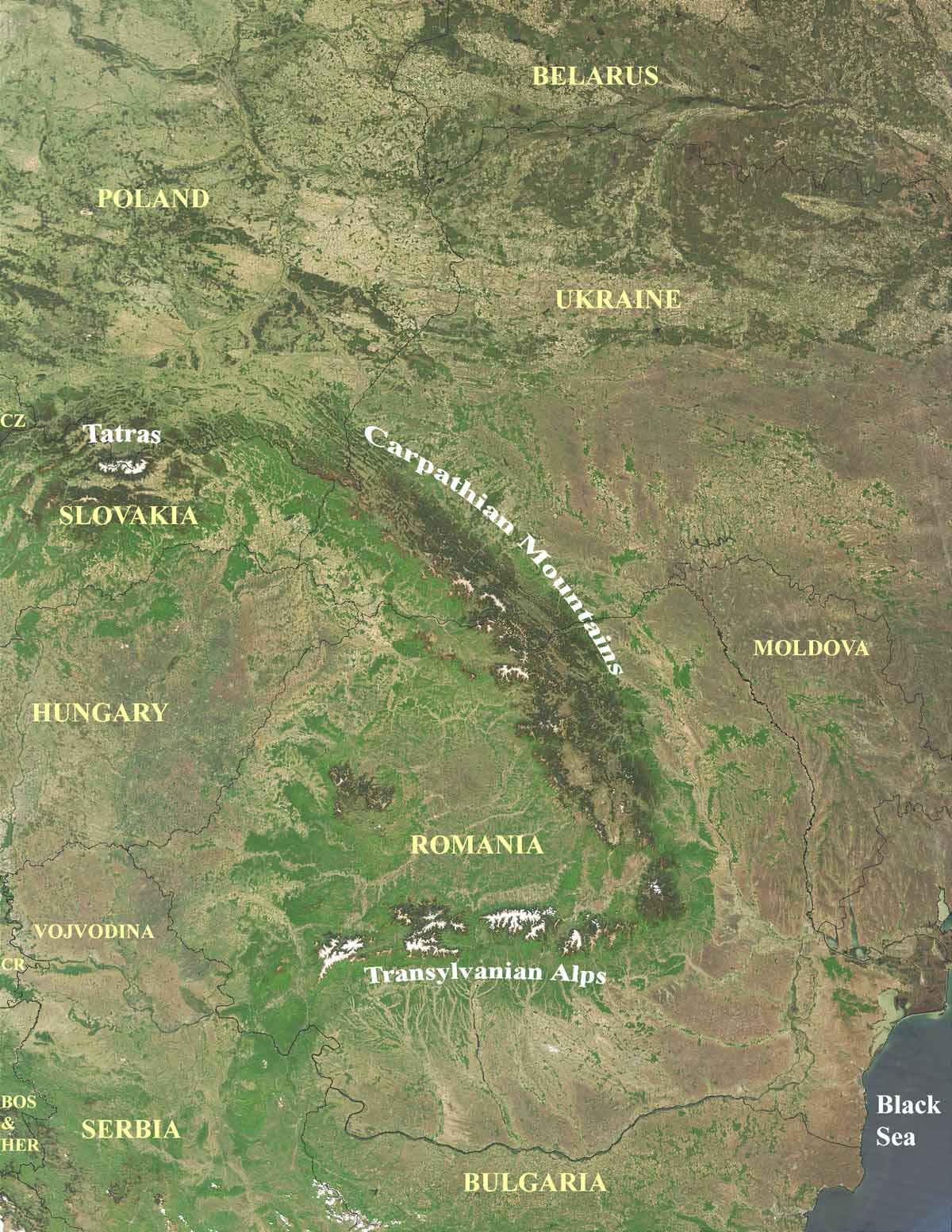
This satellite image shows the borders
(in black) of all current East European nations along with their
country names (in yellow).